Getting Started with Prospecting in British Columbia
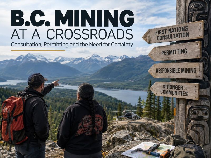
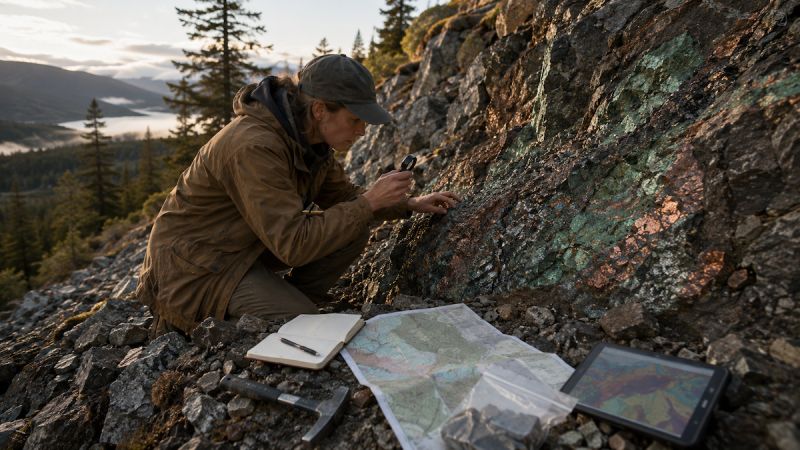
British Columbia (BC) has a long history of mineral exploration and remains one of Canada's most active regions for prospecting. Whether you're a recreational prospector, a small-scale placer miner, or an exploration company looking to stake a claim, understanding the available resources is essential. This guide covers BC's online claim management system, mapping tools, regulatory information, and research databases that help prospectors find and develop mining opportunities.
Managing Claims: Mineral Titles Online (MTO)
What is MTO?
Mineral Titles Online (MTO) is BC's digital system for claim registration and management. The platform allows users to:
- Search available land and check existing claim boundaries.
- Acquire and renew mineral or placer claims without needing to file paper documents.
- Transfer ownership or adjust claim details as needed.
How to Stake a Claim in BC
- Checking land availability on the MTO map.
- Selecting an area and defining claim boundaries.
- Paying the required fees to finalize registration.
- Filing work reports to keep the claim active.
Failure to perform assessment work or pay renewal fees can result in a claim expiring.
Forms & Publications for Claim Management
📌 Mineral and Placer Titles Forms
📌 MTO Help Guide
📌 Mine Permitting
Geological Mapping & Research Tools
iMapBC: Interactive Geological Maps
iMapBC is a government-run tool that allows users to:
- Overlay claim boundaries, mineral deposits, and exploration zones.
- View topographical features and satellite imagery.
- Export maps with custom data layers for field use.
BC Data Catalogue: Mining & Geoscience Datasets
The BC Data Catalogue is an extensive repository of datasets, APIs, and geospatial information maintained by the Government of British Columbia. It provides access to a wide range of public data valuable for mineral exploration, land management, and research.
- Find geological surveys, mineral occurrence data, and historical exploration records.
- Access environmental, topographic, and land use datasets that support project planning.
- Integrate open data into GIS software for mapping and analysis.
📌 BC Data Catalogue Overview
📌 Explore the BC Data Catalogue
Regulatory Guidelines & Compliance
BC Mining Legislation
Prospecting and mining activities must follow BC's Mines Act, which outlines rules on:
- Claim staking and land rights.
- Environmental protection measures.
- Health and safety regulations for miners.
Key Government Contacts
Ministry of Energy, Mines & Low Carbon Innovation (EMLI)
- Northeast/Central Region (Prince George):
📞 250-565-4240 | ✉️ MMD-PrinceGeorge@gov.bc.ca - Northwest Region (Smithers):
📞 250-847-7383 | ✉️ MMD-Smithers@gov.bc.ca - South Central Region (Kamloops):
📞 250-371-3755 | ✉️ MMD-Kamloops@gov.bc.ca - Southeast Region (Cranbrook):
📞 250-417-6134 | ✉️ MMD-Cranbrook@gov.bc.ca - Southwest Region (Victoria):
📞 778-698-3649 | ✉️ SouthwestMinesDivision@gov.bc.ca
Final Notes
British Columbia provides a wide range of digital tools, historical data, and regulatory frameworks to support prospectors at every stage.
Bookmark this page and join our online community to stay updated on the latest resources.